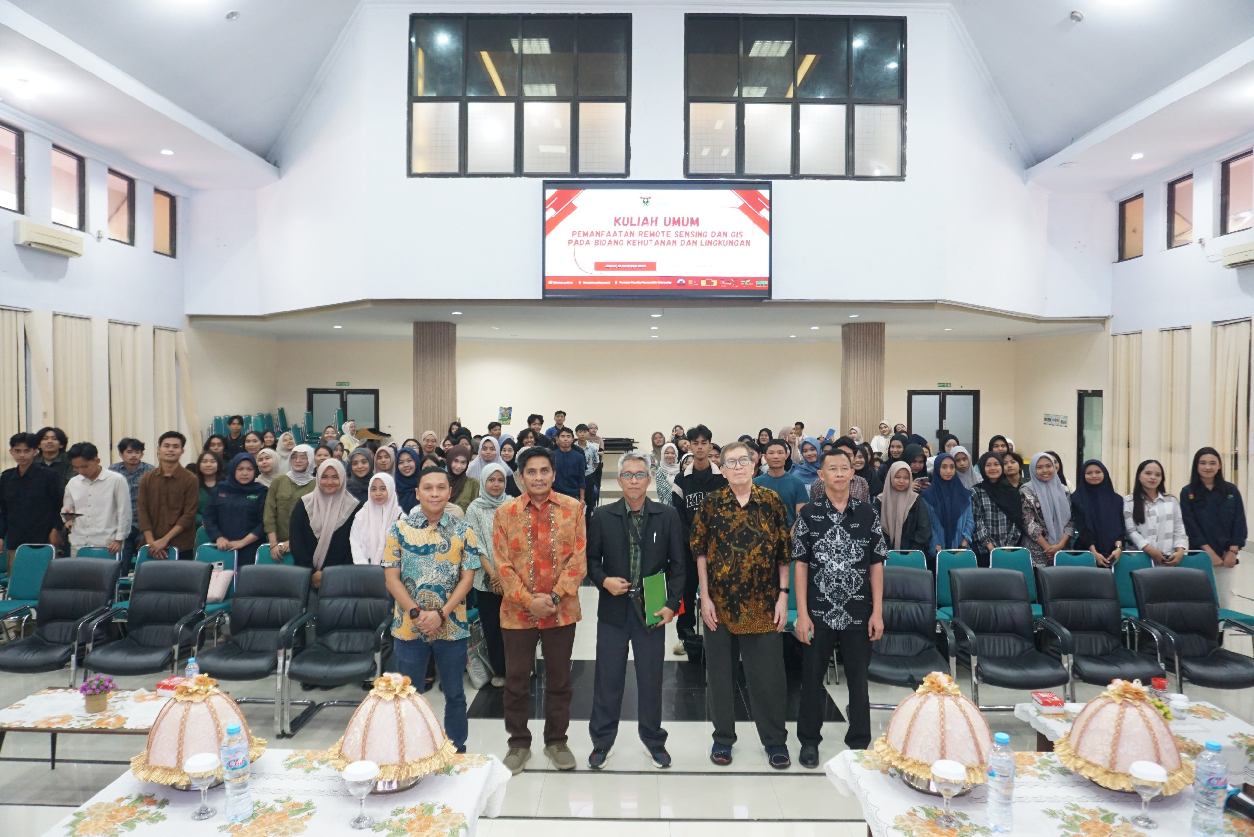
Tamalanrea-Makassar. The Faculty of Forestry, Hasanuddin University (Unhas), held a public lecture on “Utilization of Remote Sensing and GIS in Forestry and the Environment.” The event began at 9:00 a.m. WITA in the first-floor auditorium of the Faculty of Forestry, Unhas Tamalanrea Campus, Makassar, on Friday (10/31/2025).
Vice Dean for Academic and Student Affairs of the Faculty of Forestry, Unhas, Prof. Dr. Ir. Syamsu Rijal, S.Hut., M.Si., IPU. in his report that this activity was held to provide knowledge and science about remote sensing to students from experts in this case competent resource persons in the field of remote sensing and GIS.
The Dean of the Faculty of Forestry, Hasanuddin University (Unhas), Prof. Dr. Ir. A. Mujetahid M., S.Hut., M.P., IPU. in his remarks expressed his gratitude for the willingness and presence of the speakers in this public lecture to share knowledge related to the use of remote sensing and GIS in the forestry and environmental fields.
“This activity is quite important and certainly very useful for increasing students’ knowledge regarding the use of remote sensing and GIS, which are currently trending and widely discussed,” explained Prof. A. Mujetahid.
Furthermore, Prof. A. Mujetahid said that he hoped that through this activity, students would gain a better understanding of remote sensing and GIS because they are very useful in conducting observations of very large areas efficiently, providing regularly updated data and being able to detect characteristics of objects that are invisible to the human eye.
Present as speakers, Prof. Dr. Hasmadi Ismail (Faculty of Forestry and Environment, Universiti Putra Malaysia) presented material with the theme “Forest Resources in Malaysia: Geospatial Research for Sustainable Management” and Dr. Agustan (Chairman of the Indonesian Remote Sensing Expert Society, BRIN) with the theme “From Above the Canopy: Remote Sensing for Carbon and Nature”.
Prof. Dr. Hasmadi in his material conveyed about geospatial research in the field of forestry in Malaysia in this case the importance of forestry in Malaysia and its relevance to forestry.
The importance of forestry in Malaysia when viewed from an environmental perspective includes biodiversity, carbon sequestration and watershed protection, while when viewed from a social perspective it includes livelihoods and cultural significance.
“The key elements of geospatial research are data collection, data analysis, mapping, and application. These four elements are inseparable and interrelated,” said Prof. Hasmadi.
Dr. Agustan in his material conveyed that remote sensing or remote sensing in the context of the MRV system, especially for carbon projects and remote sensing land use is very important in tracking area, location and time.
Unlike ground surveys, remote sensing provides broad spatial coverage, monitoring entire landscapes and watersheds, as well as repeatable and consistent observations.
“Remote sensing acts as an eye from above, providing us with timely, reliable, and science-based insights to support transparent and verifiable climate action,” said Dr. Agustan.
The activity ran smoothly until 16.00 WITA and ended with a discussion and group photo.